Wisconsin Coastal Access Atlas
Tools: ArcGIS Pro, Photoshop, Illustrator
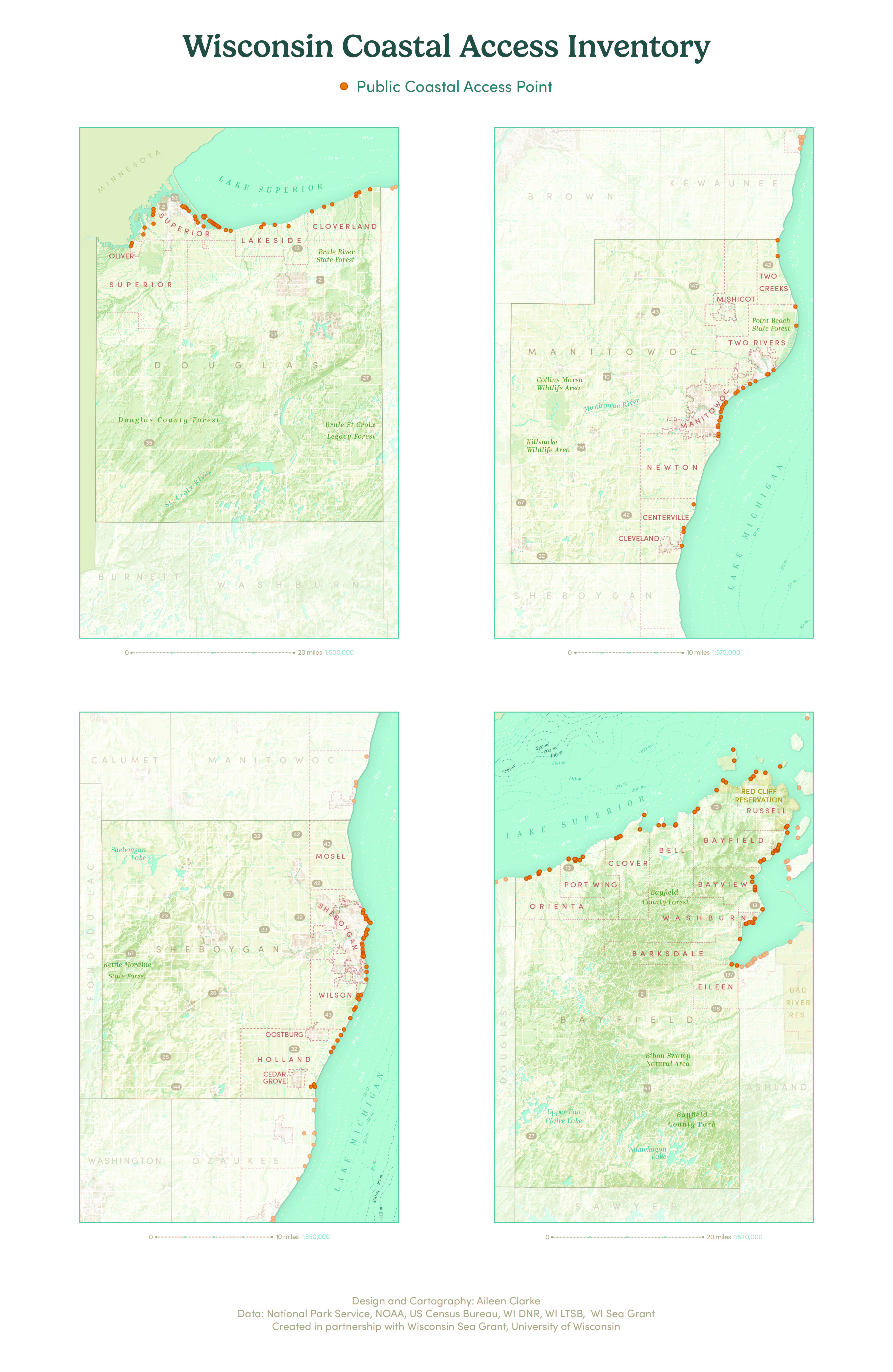
These maps were created for Wisconsin Sea Grant as part of their coastal access inventory. Eventually, these maps will be included in an atlas of coastal access points on Lake Superior and Lake Michigan. The project is ongoing and will also include a set of 60-70 inset maps. I designed and created the spec for this project and built process documents so other cartographers could produce additional maps. I managed the production of 15 county maps, some of which are seen here.
See the specification sheet here.
Aileen Clarke, 2021